 Lance Yarbrough
Associate Professor,
Geology and Geological Engineering
ldyarbro@olemiss.edu
118B Carrier Hall, University, MS 38677
Google Scholar Profile
ResearchGate: Lance_Yarbrough2
Experience
University of Mississippi – Associate Professor, 2020-present
Kiewit Foundations/Underground – Faculty Scholar, 2019
University of Mississippi – Assistant Professor, 2016-2020
Crosstek Solutions, LLC – Technical Director-Geospatial Solutions, 2015-2016
Delta Engineering Solution, LLC – Principal Engineer, 2014-2016
University of North Dakota – Associate Professor, 2014
Hess Corporation – Drilling Engineering Fellow, 2012
University of North Dakota – Assistant Professor, 2008-2014
US Department of Agriculture, National Sedimentation Laboratory – Hydrologic Technician, 1998-1999
EMSC – Environmental Construction Division – Project Manager, 1997-1998
Sverdrup Environmental – Geological Engineer, 1995-1997
Education
University of Mississippi – Ph.D., Engineering Science – emphasis in geological engineering, 2006
University of Mississippi – M.S. Engineering Science – emphasis in geological engineering, 2000
University of Missouri-Rolla – B.S. Geological Engineering, 1995
Research interests
Dr. Yarbrough’s research program emphasizes subsurface exploration, remote sensing methods for a variety of platforms including unnamed aerial systems (UAS). Special interest in research with big data integration, visualizations and augmentation. Area of interest include:
- Geohazard investigation and remediation
- Energy/materials exploration and infrastructure management/optimization
- Geospatial information science and technology
- Small unmanned aerial systems with sensor integration
- Geoscience/engineering education
RECENT PROJECTS
 Slope stability and monitoring
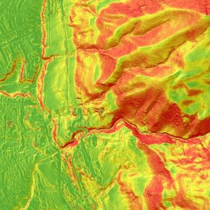
Mass movement of earth material account for billions of dollars of damage to valuable infrastructure each year in the United States. The ability to quickly investigate and characterize these phenomena are critical to reducing their negative effect on society. New methods of collecting and analyzing data are currently under development. Volume estimates and perceived movement can be obtained from 3-D point clouds using UAS (unmanned aerial system) and various sensor payloads. One such methods involves Structure-from-Motion (SFM) routines and are analogous to those employed in machine vision (sub-discipline in robotics).
 Advanced well logging methods
New methods are developed to investigate the nature of downhole rock units. In additional to typical geophysical logging, elemental chemical signatures using x-ray fluorescence (XRF) are becoming a useful diagnostic tool. By collecting and cataloguing core samples, a baseline can be created for specific well, fields or geologic regions. This baseline assists in lithologic and stratigraphic interpretations as well as serves as a comparator when preforming high-precision geosteering during directional drilling operations.
